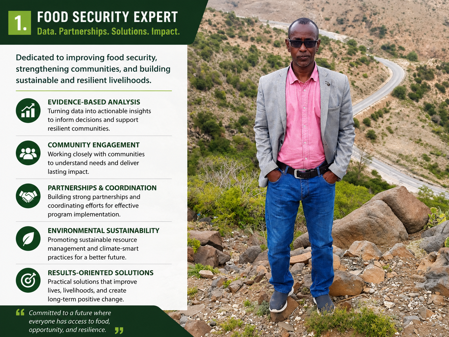
Food Security Field Analyst dedicated to data-driven solutions, resilience building, and sustainable agricultural development.
Drought Mapping
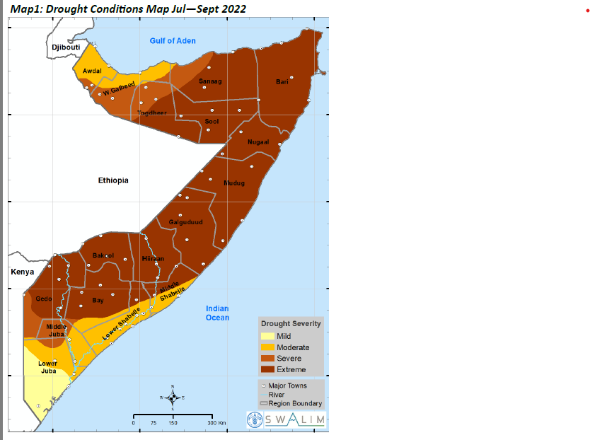
Drought Mapping:
Leveraged satellite imagery, GIS, and remote sensing technologies to monitor drought conditions across Somalia, analyzing vegetation, rainfall, and climate indicators to identify emerging food security risks. Produced spatial assessments and drought maps that supported early warning systems, humanitarian response planning, and evidence-based decision-making, contributing to timely interventions and strengthened community resilience.
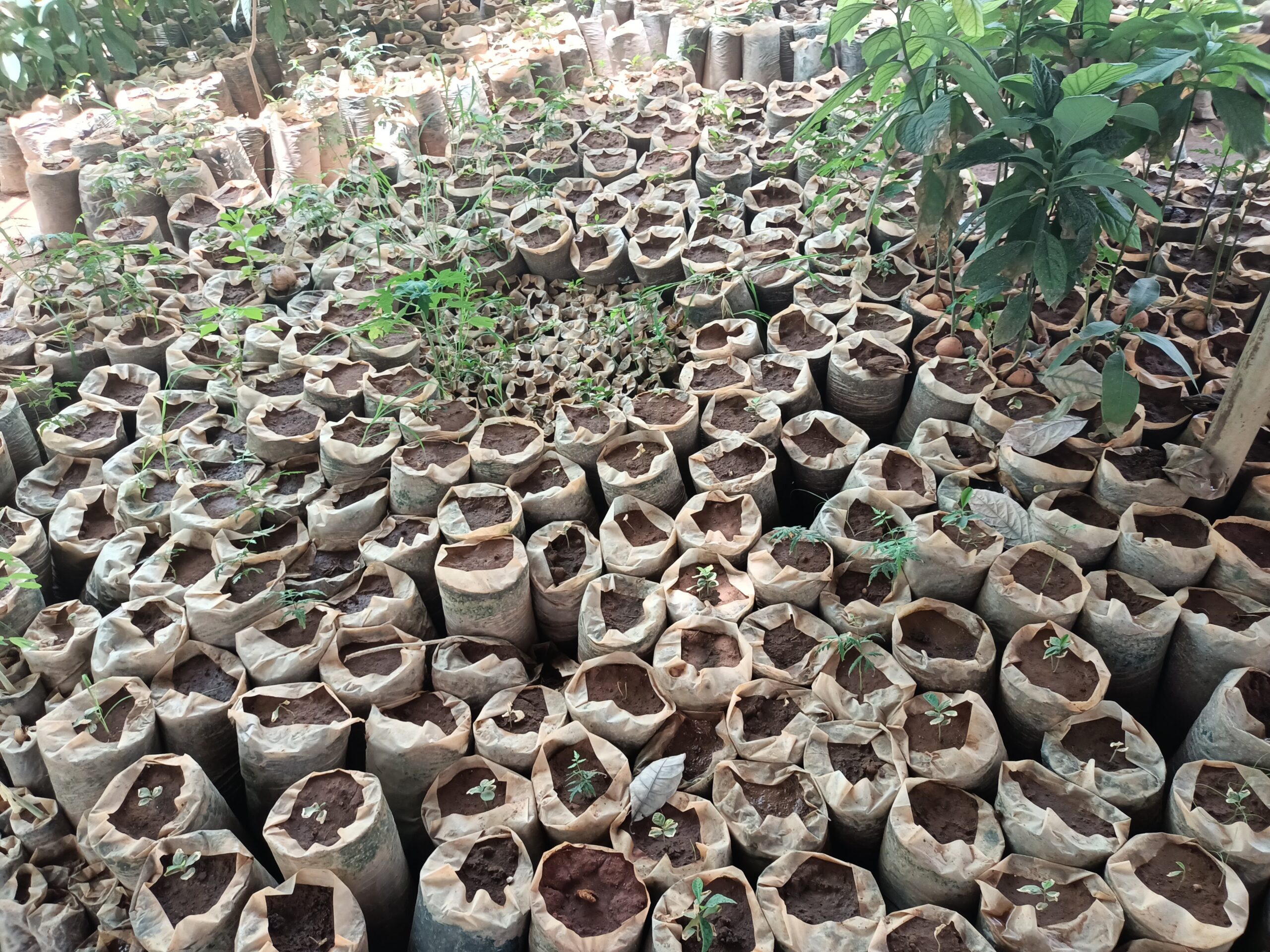
Reforestation impact
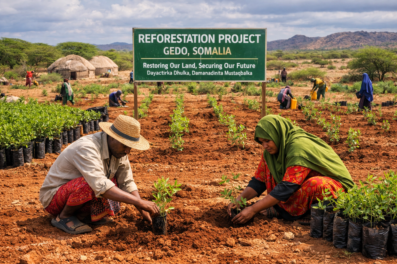
I led a project restoring native forests to strengthen environmental resilience and support food security. My role involved coordinating teams, mobilizing resources, and ensuring sustainable practices were applied throughout. I focused on native species selection and soil management to maximize long‑term ecological benefits. Collaboration with local communities was central, aligning reforestation goals with their livelihoods. This effort demonstrated how restoration can simultaneously protect biodiversity and enhance human well‑being.
Farmer Training
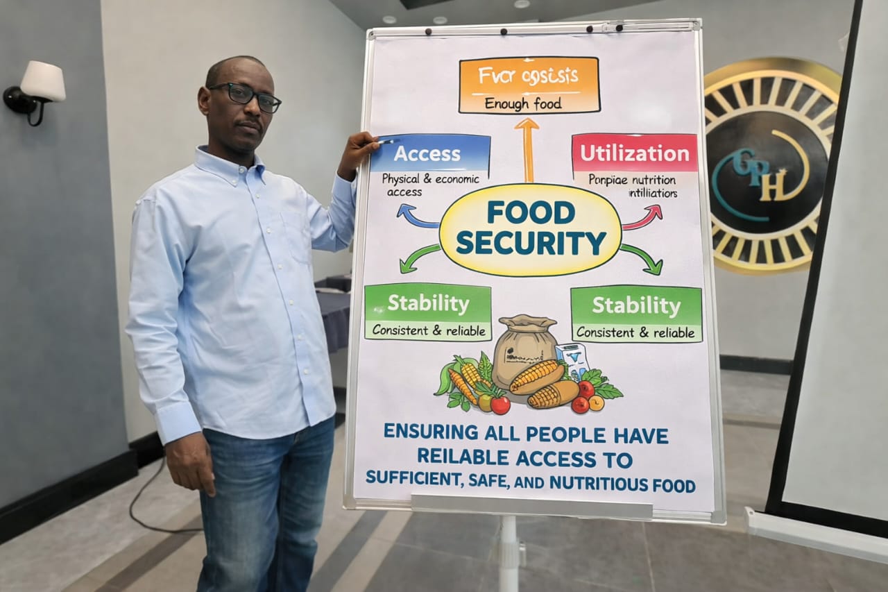
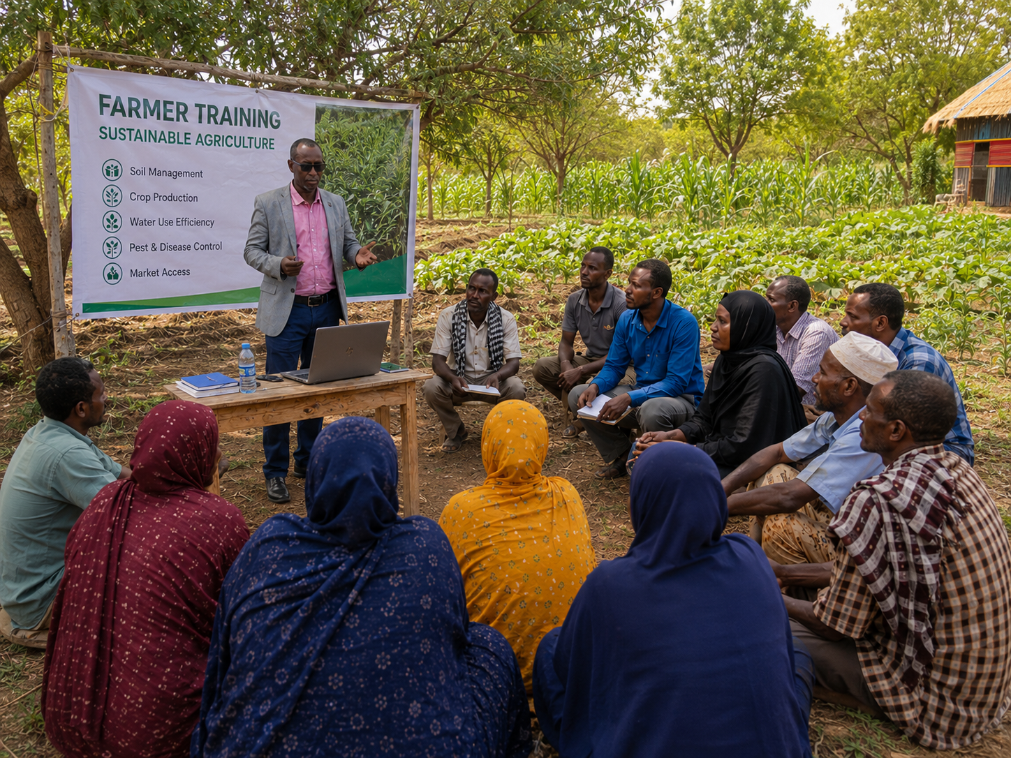
- Conducted practical extension agriculture training to improve farmers’ knowledge and skills.
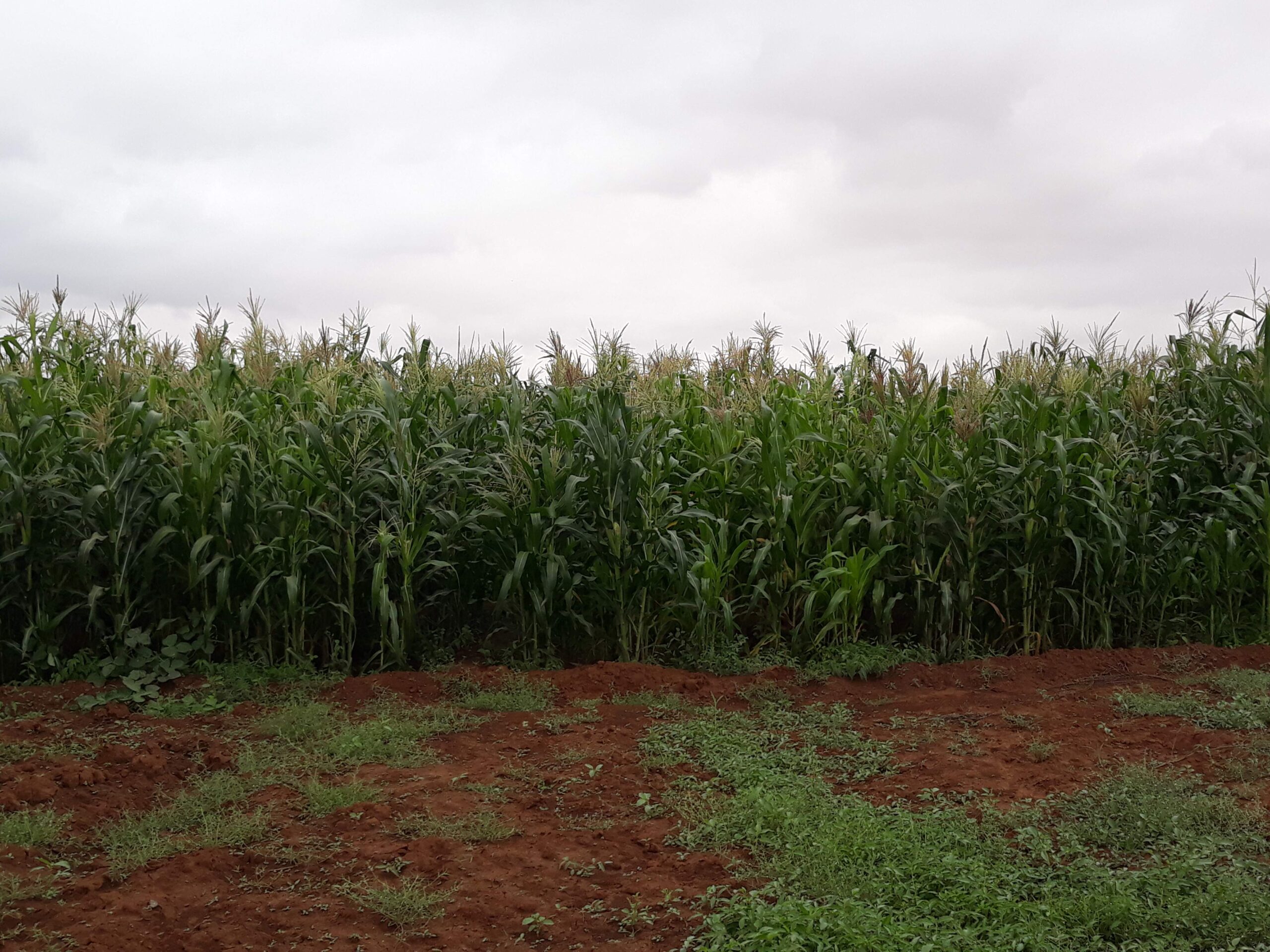
- Demonstrated modern crop production, soil fertility, and sustainable farming practices.
- Used a computer and visual presentations to explain improved agricultural techniques.
- Encouraged active participation through field demonstrations and group discussions.
- Strengthened farmers’ capacity to increase productivity, resilience, and household income.
Promoted climate-smart agriculture to support sustainable food security and rural development
Get in Touch
We'd love to hear from you. Send us a message and we'll respond as soon as possible.